High Water Liverpool that day was 11.18 am. (Admiralty Tide Tables) Now let us suppose that Capt Hewitt was misled by the ambiguous title on the chart, and fell into the trap (page 10) of wrongly believing that to figure the depth over Cheese Rock he must add the height of the tide at Menai Bridge to the 4 ft sounding. The eroneous result of doing this is the subject of the Menai Bridge graph in Fig. 8, which as you see shows 22 ft (Conway's draft) over the rock at L.pool -2.00, or 0918 that morning. This would certainly explain Capt Hewitt's fixation on "0920 hours and not one moment before." In his mind this was the earliest possible time the ship could pass over the rock, so he would have had no patience with the pilot's insistence that the ship be put to the rock half an hour sooner. This is a point which we will return to later.
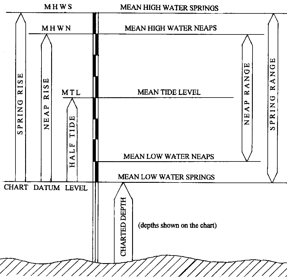
But before being able to continue it becomes necessary to explain a couple of our expressions to our non-nautical friends. Please refer to Fig. 9
Clearly we can't have much confidence in a chart of dubious origin. As it happens we believe we know the origin of this chart, but why didn't Capt Goddard put his name to it in the customary fashion? What was it about this chart that he didn't want to be identified with? So let's tread warily. He states the Rise at Menai Bridge to be 221/2 feet at Springs, and 16 feet at Neaps. First open the Menai Bridge Tide Tables, Menai Strait Tide Tables select any year, and add together the height at HW of the three highest tides each month (36 tides in all), and subtract from that the total of the 36 previous Low Water heights. Divide the result by 36 to find the average Range of those 36 highest tides, and what you get is a figure within a few inches of Capt Goddard's 221/2 feet. Try the same with the three lowest tides each month and compare that with his Neaps Range. {Range = (Rise - 11.25 ft) x 2} = {(16 ft - 11.25 ft) x 2 = 9.5 feet}, and again your figure is within a few inches of his 9.5 feet. Take note in passing that the Range of the highest tide among your selection is about 7% greater than your average Spring Range, while the Range of the lowest among your selection is about 82% of your average Neaps Range. This is another fact which we will draw on later.
But the tide at Menai Bridge is easily verified. We have the Menai Bridge Tide Tables, and in any case there is a tide board at Menai Bridge pier. But what we really want to know is the depth at the western end of the Swellies (Pwllfanog), and we don't have the same ready means of verifying the figures which the chart quotes for this. But since we've proved that Capt Goddard's figures for Menai Bridge are certainly reliable, perhaps we can have equal confidence in his figures for Pwllfanog.